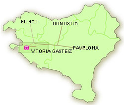
Route: Mendoza, Salinas de Añana, Tuesta, Vitoria-Gasteiz.

Vitoria-Gasteiz, once a medieval town and today the capital of the Basque Autonomous Community, reveals its history in 'almond-shaped' concentric circles.
The upper walkway in the Cathedral of Santa Maria atop the hill on which the village of Gasteiz was founded, affords views of a good part of the plains of Alava. This makes it easier to understand why the people living here would wish to take refuge behind the walls of the city. The town developed so quickly that guilds and artisan activities flourished in little time. Their prosperity could be seen in the large number of tower-houses and palatial homes built throughout the medieval town centre.
The city began to extend southward as the builders adapted their needs to the lay of the land, finding modern solutions to town planning needs.
The landscape, climate, avenues, public squares, parks and large family homes of the nineteenth century help shed light not only on the place but also the people who lived there.
Heading to the valleys to the west, between crossroads leading to the sea, families such as the Mendozas and their descendents built tower-houses demonstrating the control and dominion of this strategic land.
The smell of history added to the stark walls with machicolations and narrow slots for shooting arrows fill us with a sense of security.
In Salinas de Añana the glittering white salt deposited in salt pans are a reminder of the people who worked and traded in this area.
The church of Tuesta surprises us with the beautifully carved stonework of its facade, windows and door, and with the ingenuous and delicately carved figures.